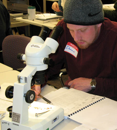
 This 2-day class emphasizes field character identification of the most common freshwater, estuarine wetland, and associated upland buffer species found in the Puget lowland region of Washington State. It is oriented towards the needs of shoreline planners, delineators and those involved with Ordinary High Water Mark determinations, and restoration.
The format is a lecture/laboratory setup. Each class begins with a short lecture covering the terminology and salient morphological characteristics needed for a taxonomic identification of the species of choice, field characteristics, some ecological aspects of the species’ common habitat, commonly associated species, distribution, potential use for restoration purposes, and any special ecological requirements. Lecture materials include drawings, slides, and dried plant material. Ample dried material will be available for everyone to practice their keying skills. (14 CM AICP Credits/CEP Points)
Recommended text: There is a new second edition of Hitchcock and Cronquist published in 2018 and edited by David Giblin, Ben Ledger, Peter Zika and Richard Olmstead. That would be preferred if you can get it. If not bring the older version.
Hitchcock, c. 1973. Flora of the Pacific Northwest. University of Washington Press.
Also- if you have or can get a hold of a copy of
A Field Guide to the Common Wetland Plants of Western Washington and Northwestern Oregon Sarah Cooke (Ed) 1997. Bring that. Much of the material I discuss is in this book.
Please also bring a plant dissecting kit (at least a pair of forceps and dissecting needle).
Lunch is provided.
Instructor: Dr. Sarah Cooke specializes in wetland creation, restoration and enhancement projects, both in design and implementation. She excels in permitting assistance on the local, state, and national level. She has conducted scientific research on wetland ecosystems for the Puget Sound Wetland and Stormwater Management Manual. Her expertise includes restoration designs, wetland inventories, wetland delineation, OHWM studies, baseline studies, impact assessments, monitoring programs, rare plant surveys, soil surveys, vegetation mapping, and watershed analysis in the region.
